

In 1859, the United States Military caused the Mohave Tribe to divide into two groups.
One of the groups remained near their ancestral lands.
These people spelled their names with a “j.”
The other group spelled their name with an “h” and relocated to Parker, Arizona.
The difference in spelling continues to this day.
What has this got to do with Fort Mohave?
As you might have deduced, the Fort was established initially as an army post to guard against the Mohave group.
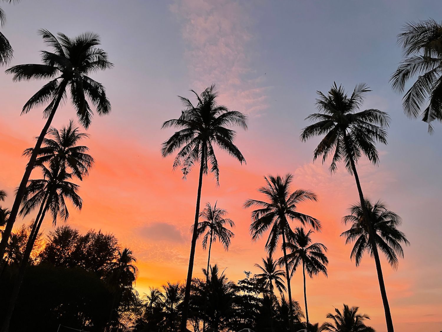
This military fort turned into a community along the beautiful Colorado River.
It continues to offer visitors a humble, quiet space in contrast to the rowdy areas along the nearby Las Vegas strip.
Here are the best things to do in Fort Mohave, Arizona:

Jason Patrick Ross / Shutterstock.com
Created from the construction of Davis Dam, Lake Mohave is an artificial lake that contains 1.8 million acre-feet of blue water.
This lake spans four miles at its widest point but covers 28,500 acres of land with 550 miles of shoreline interspersed along cliffs, sandy beaches, and coves.
Lake Mohave is within the Lake Mead Recreation Area.
The recreational activities you can do include boating and fishing.
However, you’re more likely up for more water sports activities like sailboating and water skiing.

Norm Lane / Shutterstock.com
You can also make one-day raft trips throughout Lake Mohave, from Hoover Dam towards Willow Beach.
For anglers, you can catch bluegill fish, among other freshwater fish.
If you think this location’s related to Katherine Landing, you’re right!
The Katherine Mine is northeast of the marina, near the edge of nearby Kingman.
Katherine Mine was a gold mine back in the 1900s, and a community developed around the place.
During its heyday as an operational gold mine, it processed up to 300 tons of ore daily.
The depletion of its gold led to its closure in 1942.
Its gold amounted from 1.2 to 40 million dollars.
Today, the remains of its mine and mill, from slabs of concrete to abandoned mine shafts, are all that remains.
Due to its risky nature, it’s only accessible by hiking.
You can feel the hauntingly beautiful quietness at Katherine Mine.

Renjishino, CC BY 3.0, via Wikimedia Commons
Considered the lifeline of the Mohave Valley, the Colorado River flows through the western parts of the Mohave Valley and Arizona.
This beautiful river wends its way from the Rocky Mountains up in the north towards the Sea of Cortez down South in Mexico.
On its way to meet salt water, the Colorado River provides Mohave County with accessible freshwater, stretching a whopping 1000 miles.
This famous river offers water sports and delights many fishing enthusiasts as it flows through the Mohave Valley at approximately eight knots.
Catch trout, catfish, bass, and crappies along the river.
Some sections of the Colorado River in Fort Mohave offer boat launch areas where you can rent boats, water skiing equipment, and jet skis.
Though the river flows fast, certain dams along it control its flow and provide hydroelectric power to the people.
A fort was built in the area to protect the European settlers from the Native American tribes nearby during the founding period of Fort Mohave.
Depending on your reference, however, it can be called “Fort Mojave” or “Fort Mohave.”
These names came from Spanish and English variations of the tribe, respectively.
Fort Mohave was a military post established in February 1859 by Col. Hoffman of the US Army.
The Fort Mohave Historical Landmark immortalizes that fort’s identity.
Fort Mohave opened and closed due to varying reasons throughout history.
It was abandoned on May 1861 and reopened on May 1863, during the Civil War, until it was converted into a school in 1890.
The school was closed in 1934, and the buildings in the area were demolished back in 1942 to make way for construction workers building the Davis Dam.
The Fort Mohave Historical Landmark provides a panoramic view of the entire community of Fort Mohave, Arizona.

Felipe Sanchez / Shutterstock.com
Davis Dam is at the northern end of the Mohave Valley.
The Bureau of Reclamation built the dam to control floods in the valley and to regulate the amount of water.
It contains around 1.5 million acre-feet of water, which flows to Mexico due to the policies of an international treaty.
Davis Dam was once called Bullhead Dam from a rock formation that’s now submerged.

Ken Lund from Reno, Nevada, USA, CC BY-SA 2.0, via Wikimedia Commons
The dam got its current name from the Director of Reclamation Arthur Powell Davis in 1941.
The director was part of the group that initiated the Colorado River Development, which saw work on the dam amounting to about $67 million.
As a hydroelectric dam, it generates up to two billion kilowatt-hours of power each year.
This power plant is open to the public (without charge) and has a self-guided tour with recorded lectures, maps, and close-up views of the dam’s significant features.
The landscape on both sides of the Colorado River has plenty of stories to tell.
What better way to keep track of these stories than by visiting the Colorado River Museum?
The museum houses many artifacts that harken to the area’s early history.
Check out Native American artifacts, a replica of the Fort Mohave, mining exhibits, and steamboats that once passed the Colorado River.
You’ll find the Colorado River Museum at the southernmost tip of Davis Camp in what once was a Catholic Church in Laughlin.
This museum also keeps track of the history of Laughlin and Bullhead City.
Get intrigued by the museum’s photographs, maps, dioramas, and memorabilia that show off the area’s eras of gold and silver mining, ranching history, and steamboat industry.
Historical landmarks around the area also have replicas in the museum, making this spot preferable for local history enthusiasts.
The Colorado River Museum is worth your visit with its fantastic exhibits and the stories behind them.

Norm Lane / Shutterstock.com
Katherine Landing is a marina within the 200,000-acre-wide Lake Mead National Recreation Area.
Since the area is under the jurisdiction of the National Park Service, it has food, lodging, and retail open for the public from the Basecamp Hospitality.
As a full-service marine, Katherine Landing features boats to fit your preferred water activity of choice.
Water skiing equipment and wakeboards are also up for rent.
At the heart of Katherine Landing is a 51-room lodge, the Lake Mohave Lodge.
This lodge is simply a few steps away from the marina.
Moreover, Katherine Landing has an RV park and campground for the outdoor enthusiast.

Kevin.Daniels, CC BY 3.0, via Wikimedia Commons
Its 24-site RV Park is surrounded by the visually stimulating scenic view of Lake Mohave, while its camping grounds feature some of Arizona’s magnificent flora.
These campsites are perfect for the entire family to enjoy.
If you’re up for some fishing, Katherine Landing has a retail store with a wide selection of fishing supplies, from bait to boating equipment.
You can purchase some of their items to catch the wide freshwater fish in Lake Mohave.
The Tri-State Shooting Park considers itself Arizona’s newest recreational gun range.
This spacious area stands on top of 315 acres of land in the Mohave Valley, a few minutes from Fort Mohave.
The Tri-State Shooting Park is a public shooting range serving Arizona’s Tri-State, which includes Fort Mohave and other bustling communities in the area.
Though this is primarily a gun range, the Tri-State Shooting Park also has an area for honing your archery and hunting skills.
Because this gun range is open to the public, you can become proficient and familiar with hunting weapons, for example.
The Tri-State Shooting Park opens on Thursdays, Saturdays, and Sundays.
You can check out their website to get a more comprehensive list of the things to do and avoid if you plan to visit this location.

Felipe Sanchez / Shutterstock.com
Since Lake Mohave is such a popular part of the Colorado River, you might find that many visitors will harm your peace if you plan to visit the area.
If you don’t want to go upstream of the river, then choose to go downstream.
Just beneath Davis Dam, the site where the construction team behind Davis Dam lived is the current site of Davis Camp.
Davis Camp is operated by the Mohave Country Parks Department and offers different amenities like RV camping, picnic areas, and boat launching facilities.
This Camp is outside Bullhead City, where Fort Mohave is a suburb.

Norm Lane / Shutterstock.com
If you’re interested in relaxing under the sun or grilling on the beach, Davis Camp provides a wide array of recreational activities for the whole family.
Davis Camp has a mile and a half of shoreline, so many water sports and enthusiasts will be in their element here.
Jet Skis are up for rent during the warmer months.
Moreover, the Davis Camp park holds the current record for the biggest striped bass, with a specimen caught weighing 59 pounds and 12 ounces.
Why not try it out by heading over to Davis Camp?

Norm Lane / Shutterstock.com
The Colorado River borders the states of Arizona to its east and Nevada on the other side.
On Fort Mohave, there’s a spot where you can easily step into the state of Nevada, the Mojave Crossing.
Mojave Crossing is mainly known for its entertainment center that hosts various events.
This event center is the largest around these parts of Arizona, with a seating capacity of 3,000 people stadium-style or 5,000 people arena-style.
Additionally, the center’s skybox can accommodate up to 200 people in a banquet layout and 300 in a theater layout.
The highlight of the Mohave Center is its 45,000 square feet stadium floor with 392 stables for many horseriding events.

Nate Loper / Shutterstock.com
True to its state motto, “God Enriches,” the state of Arizona is blessed with unique landscapes.
Many majestic canyons are formed as the Colorado River flows through the land.
One canyon you’ll find near Fort Mohave is Grapevine Canyon.
Although Grapevine Canyon is in the state of Nevada on the opposite side of the Colorado River, it’s a couple of minutes drive from Fort Mohave.

Mark Misky / Shutterstock.com
You’d want to hike along the canyon’s trail to search for the Native American petroglyphs carved on this majestic canyon’s sides.
These sheer glyphs are hundreds of years old and cover the mouth of the Grapevine Canyon.
The canyon is also home to many wild-growing grapes, whence it got its name.
You can trail more profoundly into the canyon, but most require a lot of rock climbing.
Likewise, you might want to get an expert trainmaster or a guided canyon tour.
There are plenty of these services from Katherine Landing.
If planning to hike in the area, prepare a lot of water.

Mark Misky / Shutterstock.com
You’ll reach the Mohave Valley Raceway towards East Laguna Road.
The Mohave Valley Raceway will surely make car enthusiasts happy with its plethora of car racing events and showdowns.
Since the raceway is affiliated with the International Motor Contest Association, it conducts various motorsports to pump up the adrenaline of its audience.
See souped-up cars try to outrun each other on the racing tracks of the venue.
If you plan to watch some of the raceway’s events, purchase a ticket early, as they don’t offer tickets a day before the race day.
Moreover, outside foods and beverages aren’t allowed inside the Mohave Valley Raceway.

Nick Fox / Shutterstock.com
The state of Arizona also has a lot of mountain ranges.
You’ll find a mountain range with many names on the eastern part of the Mohave Valley.
Its most accepted name is the Black Mountains or the Blacks.

Usa-Pyon / Shutterstock.com
The Black Mountains, also called Ute Mountains, once spanned the entire length of the mountain range but have since become disused.
Throughout this mountain range are dormant and operational mines, making this part of Arizona a paradise for rockhounds.

Norm Lane / Shutterstock.com
If you think the Native Americans only have petroglyphs that lie outside Fort Mohave, think again.
Among the tribes’ geoglyphs is the Fort Mojave Twins.
You’ll find the Fort Mojave Twins by driving along Downey Road.
The geoglyph looks like two persons lying on the ground dating back to approximately 900 BCE.
These twins are believed to symbolize good and evil, with the larger of the two figures having a massive head attached to limbs said to represent sound or even an ancient god.
The other figure has a smaller head with detached arms.
The Fort Mojave Twins are said to only exist in this part of North America.

Stan Shebs, CC BY-SA 3.0, via Wikimedia Commons
You’ll see a large rock formation in the Black Mountains from Mohave Valley, let alone Fort Mohave.
That piece of the landscape is called the Boundary Cone, a large piece of rhyolite shaped like a dome.
It’s near the Black Mountains.
Boundary Cone got its name from Army Lt. Joseph Ives in 1857 because the 35th parallel latitude passes the center of this landscape feature.
Boundary Cone has religious and cultural significance to several Indian tribes and other landscapes in the area.
It was also a prominent landmark that guided early travelers in the region.
These characteristics made Boundary Cone eligible for addition to the National Register of Historic Places.
Though Fort Mohave is a quaint community, it continues to show visitors warmth and coziness whenever they stop by the area.
This suburb of Bullhead City, Arizona, provides quietness away from the buzz of its more rowdy neighbors.
Blending Native American history with the natural landscapes of Arizona, this area deserves a visit.
Plan your trip today and discover the best things to do in Fort Mohave, Arizona!